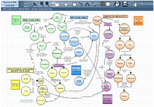
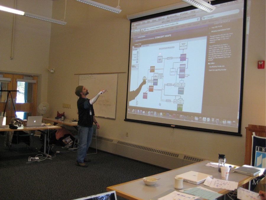
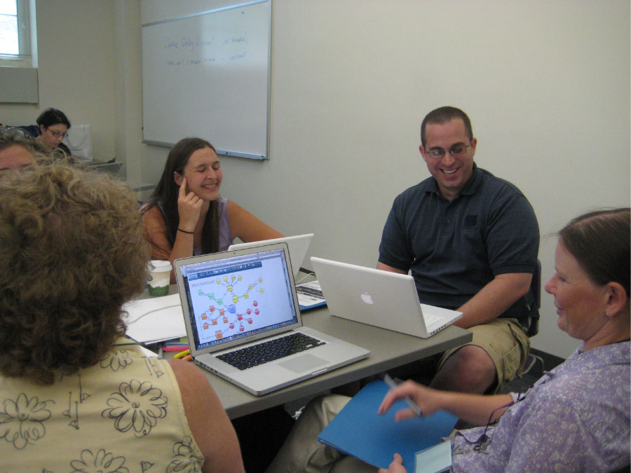
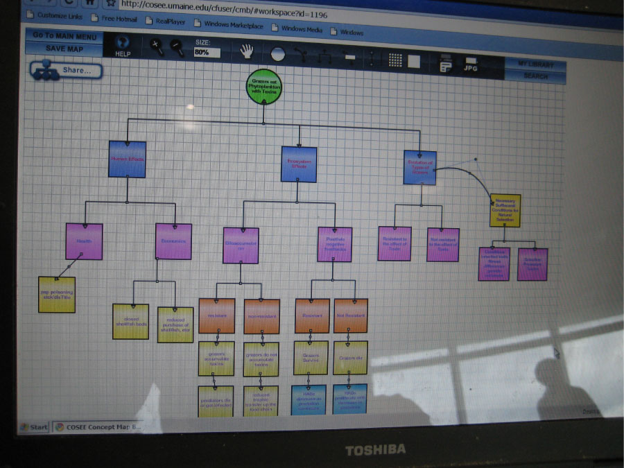
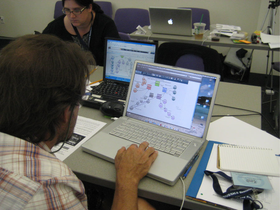
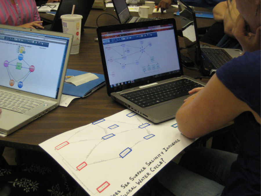
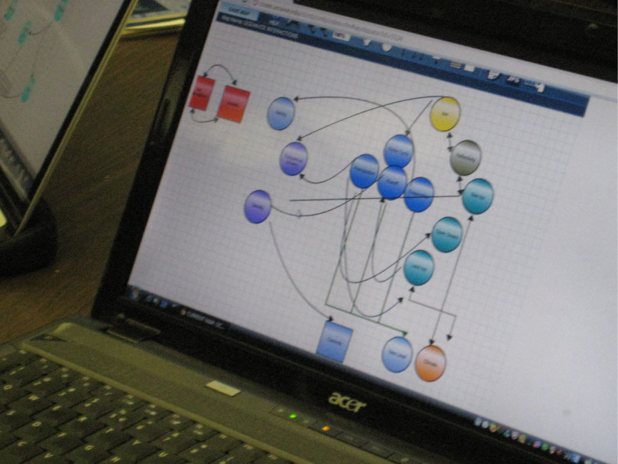
Concept maps are designed to help teachers and their students understand the connections and relationships between climate and oceanography. For scientists, concept mapping helps them share their understanding of connections in the earth system. For educators, concept maps can be powerful tools for exposing and clarifying topics in the classroom and assessing student knowledge.
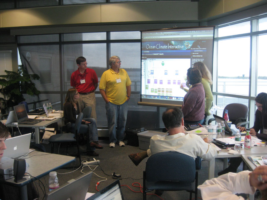
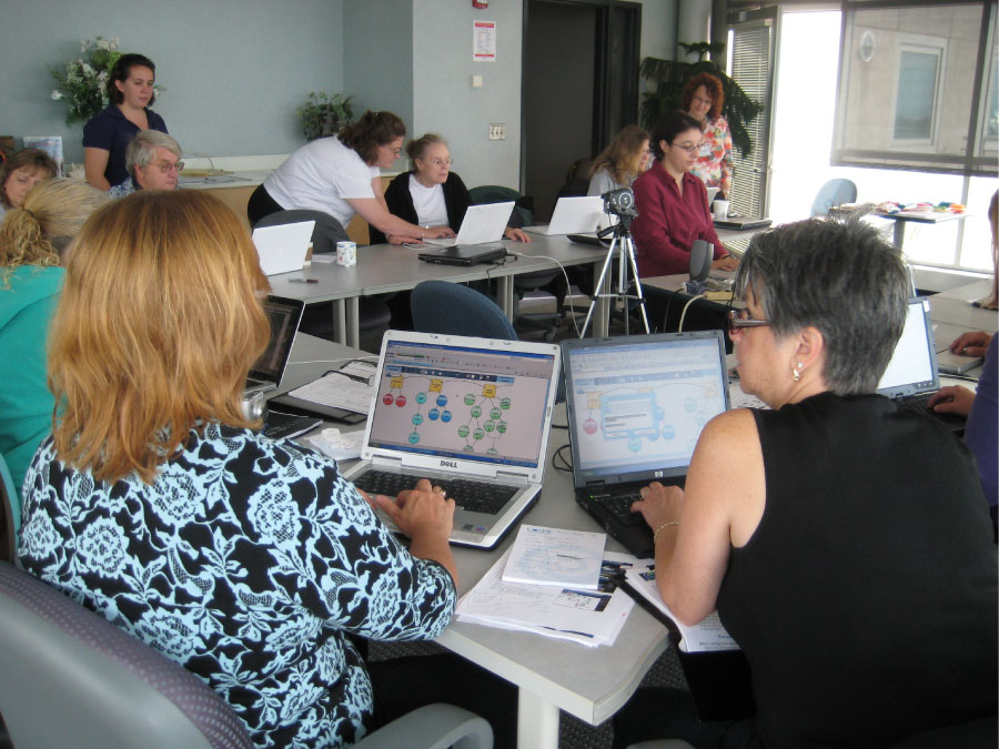
The COSEE-Ocean Systems (COSEE-OS) Concept Map Builder (CMB) is a web-based tool that allows users to create customized concept maps linked to videos, images, news, and resources. The resulting maps can be printed, downloaded as an image, share via email, exported as XML data or stored in our database for reuse or sharing with colleagues, students, peers, and the general public. The CMB, when used in conjunction with our Ocean Climate Interactive, forms part of the COSEE-OS suite of ocean-climate multimedia known as the Concept Linked Integrated Media Builder.
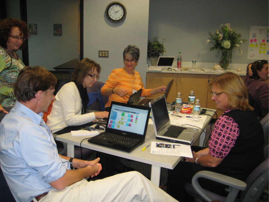
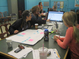
Scrolling slideshow - click on any image to enlarge
COSEE Center
COSEE-Ocean Systems, with a team of researchers and other experts from the University of Maine, New England Aquarium, and the Institute for Broadening Participation, was established to implement several integrated activities, each designed to improve COSEE's impact on rural and inland communities.